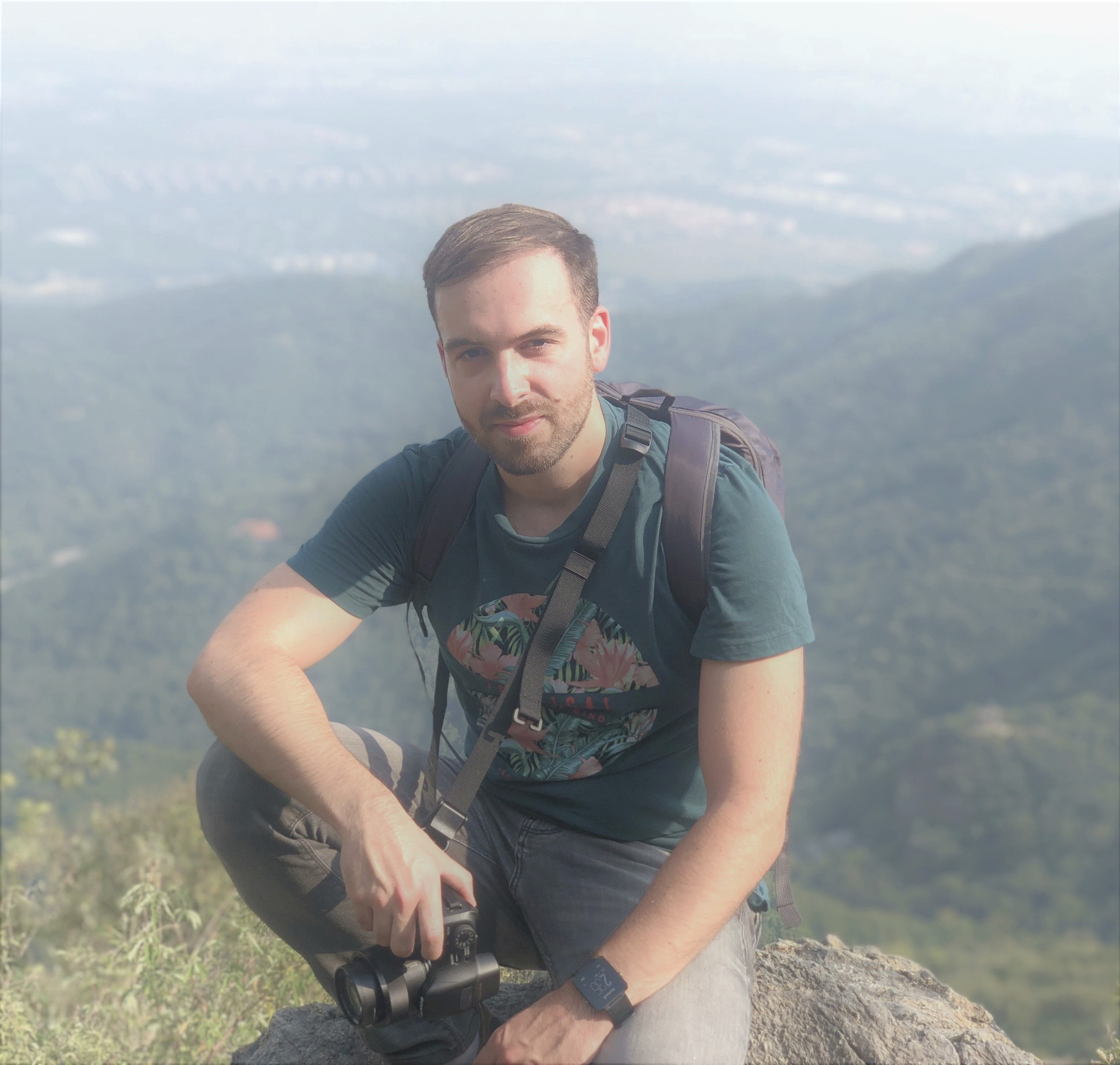
Hi, I am Miguel González


Curiosity is the main engine of my life. Beyond other professional ambitions, I have always simply wanted to know more. With the years, my curiosity has led me to start a scientific career. In terms of motivation, I would summarize my main workflow as a permanent seek for quantifying the state of my own knowledge and of my own ignorance. Though I have focused most of my work on environmental systems in Spain, if I have learnt something over the last years is that the language of data is a universal language that can be spoken anywhere and it has many dialects. Thinking of the future, I am willing to keep speaking that language and let my curiosity take me far beyond my previous experience.
Since I started my PhD project, I have been intensively learning and working on the field of forest modelling. I've been focusing mostly on the use of modern statistical learning approaches for clearing the challenging uncertainties regarding modelling forests under climate change. Though I have collaborated with the University of Santiago de Compostela, Spain, for developing my research project, I have actually been working as a private R&D technician in an environmental consultancy company. In 2022 I moved to China and started doing ecology research the Guangzhou Institute of Geography (Guangdong Academy of Sciences). Among my recent work, I would remark the Latent Forest project, which aims at exploring cutting-edge representation learning approaches to forest science.
If you find my work interesting, don't hesitate to contact me, maybe we could arrange some fruitful collab!

In recent years, I have had the chance to apply many supervised learning techniques for solving different modelling tasks. Most of my work has been focused on rule-based and kernel models implemented in R and Python.
Currently, I am learning more about deep neural networks and exploring its potential applications in forestry research.
Most of my work has been related to geograhic inputs and outputs. A part from GIS software, I am quite experienced in working with R and Python for spatial data manipulation, for spatial modelling and for map visualisation.
Recently, I am especially interested in the use of multispectral satellite imagery for performing spatial modelling tasks using artificial intelligence
I started with web development by building simple dashboards and interactive web maps using mostly R shiny. Eventually, I got a bit more experienced in general web programming and I have a couple of bigger projects using Python frameworks.
At this moment, I am learning more about Django, Leaflet and Plotly.